
Army Geospatial Intelligence Imagery Analyst (MOS 35G)
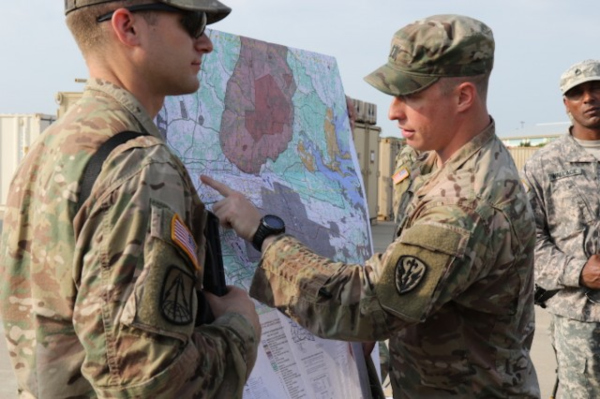
An Army Geospatial Intelligence Imagery Analyst (MOS 35G) is part of the military intelligence (MI) branch. Geospatial Intelligence Imagery Analysts deal with aerial and overhead imagery, which is developed by photographs and other electronic devices. The information that Army MOS 35G is capable of discovering from aerial photographs is instrumental in gaining an advantage over … Read more